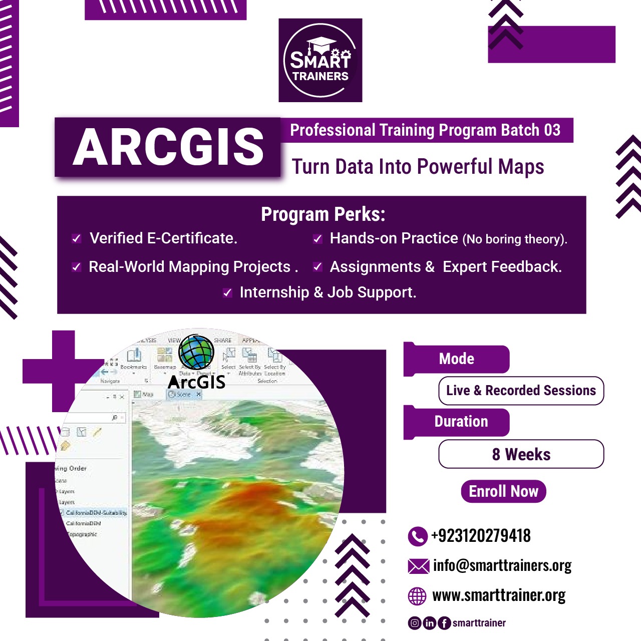
Course Description
Data is cool… but mapped data hits different
Learn ArcGIS and turn geographic data into powerful maps, analysis, and real-world insights
Ever wondered how Google Maps, city planning, disaster management, or location tracking actually work?
That’s the power of GIS (Geographic Information System) — and this course teaches you how to use it like a pro
With ArcGIS, you won’t just see maps…
you’ll learn how to analyze, visualize, and solve real-world problems using spatial data
You’ll learn how to:
- Create professional digital maps
- Analyze geographic & spatial data
- Work on urban planning & infrastructure projects
- Use GIS for environment & disaster management
- Visualize data in a smarter way
No boring theory — this is hands-on GIS learning from Day 1
You’ll work on real-world applications like:
- Smart city mapping
- Infrastructure planning
- Flood & disaster analysis
- Location-based data projects
By the end, you’ll have:
- Real GIS project experience
- Practical ArcGIS skills
- A portfolio that stands out
Certification
After successfully completing this course you would receive a certificate of course completion from institute.


.jpeg)

.jpeg)


Reviews
Elen Saspita
As Thomas pointed out, Chegg’s survey appears more like a scorecard that details obstacles and challenges that the current university undergraduate student population is going through in their universities and countries.